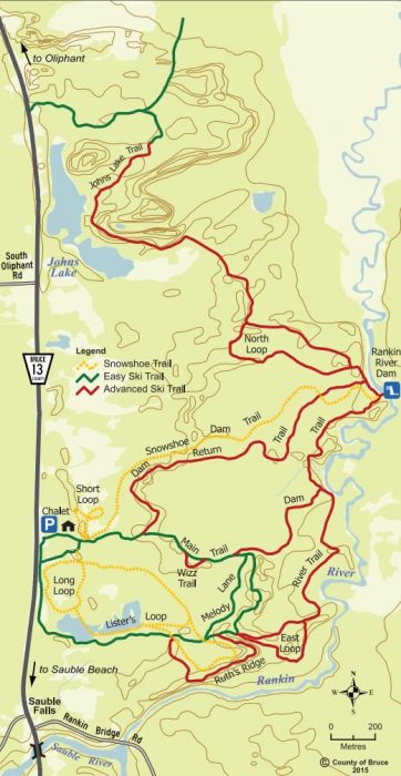
Length – 18 km
80% park path
20% dirt road
Elevation – flat with rolling short hills (ancient sand dunes)
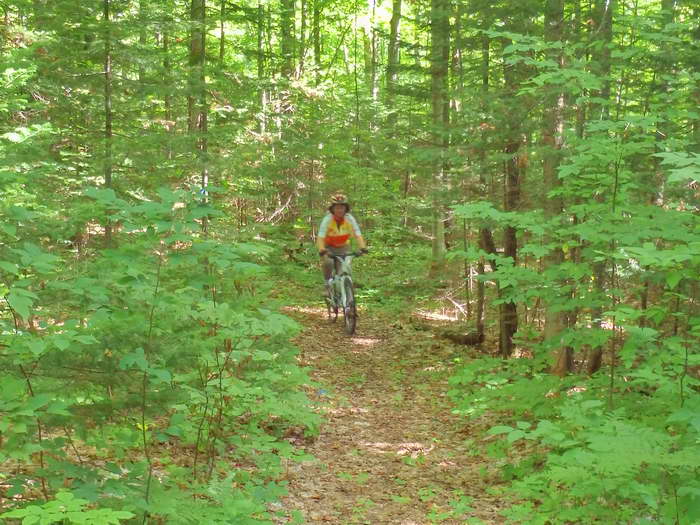
Terrain – trail smooth forest cover, a few muddy and sandy areas
Skill – all levels, a moderate park ride or easy MTB ride
Maps – at entrance, a few sign posts
Facilities – parking by ski club hut, shelter, benches
Highlights – Rankin River, dam, pond, dunes, Sauble Falls (good swimming)
Trail Fee – free
Phone – none
Website – Ski Sauble
Similar Trails – Brant Tract, Bendor, Long Sault
Local Clubs – none
Access – North 1 km from Sauble Falls on Hwy 13. Look on the east side for the opening to the Nordic Ski Club entrance – 985 Sauble Falls Pkwy.
Other trail access can be found further up the road too.