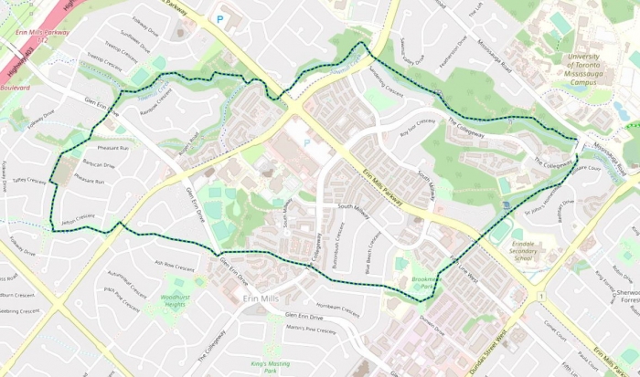
Length – 8 km
85% park path
10% hiking trail
5% road crossings, detours
Elevation – Half of the route gradually climbs 60 m, the other half you coast back down.
Terrain – Mainly a paved path, soil/woodchip base, bridges.
Skill – Intermediate
Maps – Map boards, posted directions to many routes.
Traffic – Cyclist, walkers, dogs, strollers
Facilities – Parking lots, toilets, benches, picnic tables, playgrounds.
Highlights – Natural ravine valley, quiet suburbia
Trail Fee – Free
Phone – 905 615 4311
Website – City of Mississauga
Similar Trails – Morrison Valley, Upper Etobicoke,
Local Clubs – Credit Valley Cycling Club, Mississauga Bicycle Racing Club
Access – Parking at UofT campus metered lot, The Collegeway east of Mississauga Rd. At the other end try Pheasant Run Park or Dunn Park.