Length – 33 km (one way)
90% rail trail path
5% road crossings, detours
Elevation – Flat, with a very gradual slope
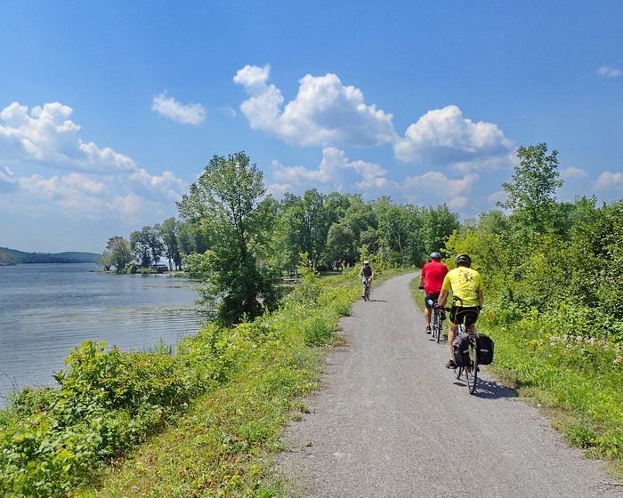
Terrain – Fine crushed stone, gravel, asphalt at either end. Use a hybrid or gravel bike.
Skill – Easy
Maps – Well marked, new map boards and posted signs.
Traffic – Cycling, hiking/jogging, horseback riding, cross-country skiing and snowmobiling.
Facilities – Parking lots, outhouse, benches, rain shelter, food and lodging at either end with not much in between (not yet).
Highlights – Large road underpass tunnel, old rail bridges, waterfront views, locks
Trail Fee – Free
Phone – None
Website – Lang Hastings Trail
Similar Trails – Omemee , Victoria, Lower Trent
Local Clubs – Peterborough Cycling Club
Access – Suggested parking lots in Peterborough at Rogers Cove Park or Beavermead Park or just out of town on Technology Dr.
Midpoint: Base Line Rd. east of Heritage Line
In Hastings : on Trent Street and at Homewood Ave. & Bridge St. N.
History – (I no longer include train history in my free reviews. Only to be found in my published books.)


