Length – 64 km
90% rail trail
10% roads
Elevation – Quite a flat route.
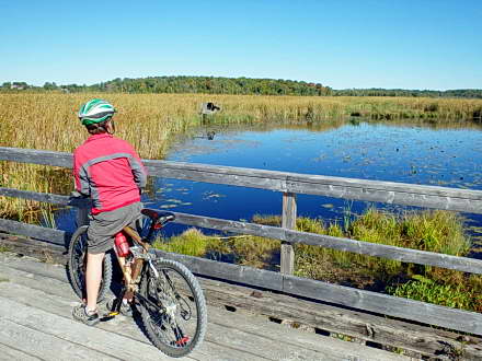
Terrain – A wide path with crushed stone, gravel, and asphalt, as well as wood bridges and open wetlands.
Skill – Easy
Traffic – A few cyclists and hikers, as well as snowmobiles in the winter. (In addition, management of the section of trail northeast of Uxbridge (east of Lakeridge Road) is under review. It is possible for trail users to now run into ATVs and dirt bikes as well.)
Maps – Maps and signage can be found at key points.
Facilities – No services close to the route except at Uxbridge, Lindsay, Sunderland, Cannington, and Woodville.
Highlights – Various marsh wildlife, old bridges, quiet stretches.
Trail Fee – Free
Phone – None
Website – Trans Canada Trail
Similar Trails – Oro-Medonte, Caledon, Elora Cataract
Local Clubs – Uxbridge Cycling Club
Access – There are many entry points; in Uxbridge start at the park soccer field parking lot on Herrema Blvd. You may get a ticket parking on side streets.
History – (I no longer include train history in my free reviews. Only to be found in my published books.)


