Length – 296 km (one way)
95% rail trail path
5% road crossings, detours
Elevation – Flat, gradually sloping northward
Terrain – Fine crushed stone, larger gravel patches, asphalt sections in towns
Skill – Easy
Maps – Maps boards and new signage
Traffic – Cyclists, hikers, ATVs, snowmobiles
Facilities – Parking lots, benches
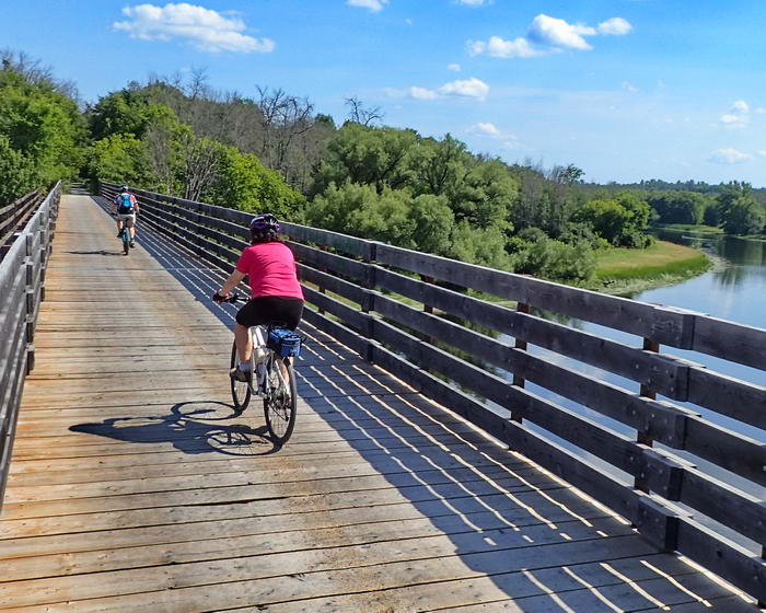
Highlights – Bridges, shoreline views, old historic towns, Railway Museum in Smith Falls
Trail Fee – Free
Phone – 613 735 7288
Website – Ottawa Valley Recreational Trail, FB page
Similar Trails – K&P, G2G, North Simcoe
Local Clubs – Ottawa Bicycle Club, Ottawa Valley Cycling & ATA
Access – Parking lots exist at the Pembroke Waterfront Park, on Meehan St. in Arnprior, at Hwy 20 in Pakenham, at Reserve St. in Almonte and on Coleman St. and also at 10th Line in Carleton Place.
History – (I no longer include train history in my free reviews. Only to be found in my published books.)


